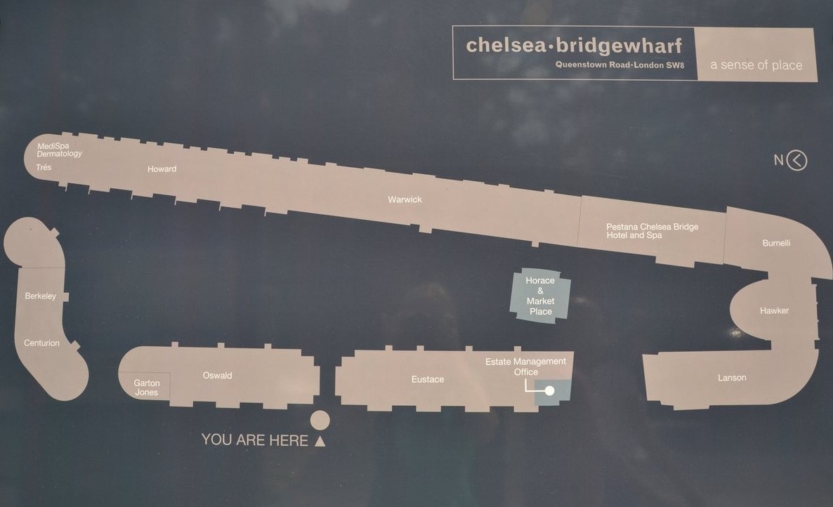
Getting to Chelsea Bridge Wharf – including block map
Public transport
Tube: DISTRICT (Sloane Square) NORTHERN LINE (Battersea Power Station)
Battersea Power Station (northern line) is the nearest tube station and Sloane Square (district and circle lines) is a only little further away (1-15 min walk or buses 137 or 452 northbound).
Buses 44, 137 and 452 stop right outside Chelsea Bridge Wharf (southbound) or across the road (northbound).
Battersea Park and Queenstown Road overground stations are about 10 and 15 mins walk respectively (or take 44, 137 or 452 bus ).
River Bus to/from Battersea Power Station pier:RB2
https://goo.gl/maps/DYwdsaPDTKMFATNw7
Chelsea Bridge Wharf block map (as viewed from Queenstown Road – facing east)